February 2022 Digital Edition Cover
In This Issue
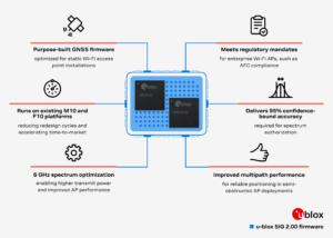
Using modern PCs to carry the load
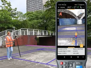
ComNav Technology: Surveying in urban conditions
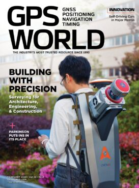
Building with precision: Surveying for architecture, engineering & construction
CHC Navigation: The rise of digital-twin models
The true value of inertial navigation: An interview with Brad Parkinson
Leica Geosystems: The surveyor as a data manager
AEC firms use aerial mapping to share in infrastructure funding
GNSS + sensors have transformed surveying
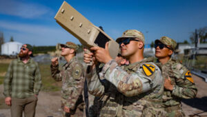
Seen & Heard: Driving fish, North Korean tests
GNSS shows how volcanic eruptions cause ionospheric disruptions
Editorial Advisory Board Q&A: Russian threats to GPS
Innovation: Self-driving cars in urban neighborhoods