No audio available for this content.
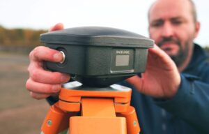
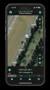
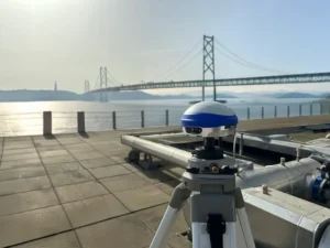
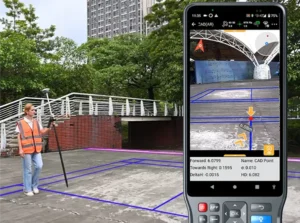
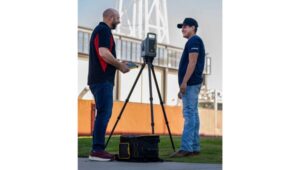
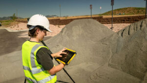
 On the day of the solstice, June 21, geospatial professionals around the world and members of Land Surveyors United (a global support network for land surveyors) will be simultaneously recording survey grade GPS data from thousands of points around the globe, in order to gain a more accurate understanding of the earth’s surface.
This will be the second Survey Earth in a Day event; in 2012 the first Survey Earth event was held, establishing many new understandings between geospatial and geomatics professionals and the general public on geospatial issues, organizers said. “With a mission not only to learn more about the Earth’s surface but also monitor its changes over time, and the changes in public perspective, as a global community, we may be more capable of assessing our future,” organizers said.
“Our results will change the knowledge we currently have of the shape of the earth and thus provide new information about our planet’s surface for the benefit of all man-kind. Help the surveying industry and the surveyors in your region of the world by representing your area as we re-measure the entire globe in one single day,” organizers said.
“If you are a geospatial professional with access to survey grade GPS equipment, you should consider helping us set a world’s record, right from where you live and work. Only a surveyor can provide the kind of precision that will be needed to truly understand the shape of planet earth. Just imagine how much this can help our industry,” organizers said.


Scott D. Warner, RLS
Thank you GPS World Magazine for featuring this first-of-its-kind worldwide event. The worldwide GPS community is listening.
Scott D. Warner, RLS
Senior Director / Editor
Land Surveyors United
———————-
Moderator, Survey Earth in a Day
J Farrow
Thank you GPS World for mentioning this years event! Land surveyors need this event in order to maximize public awareness in regards to the importance of land surveyors to society and civilization. Only a professional land surveyor can produce measurements accurate enough to change how we currently understand the structure of the planet. Not to mention, they need each other. Believe it or not, there was never a “global community of land surveyors” before Land Surveyors United. We are all looking forward to another go at remeasuring the entire surface of the earth in a single day. You can find the facebook event for 2.0 here: https://www.facebook.com/events/443071969067103/
And a nice presentation of requirements and instructions here: http://www.strikingly.com/surveyearth