GPS World is at the 2014 Esri User Conference, being held July 14-18 in San Diego. Check out our slideshow for key photos from the first day of the conference. Follow tweets from GPS World and Geospatial Solutions for live updates from the conference.
Welcome to the 2014 Esri User Conference (UC) Photo Slideshow.
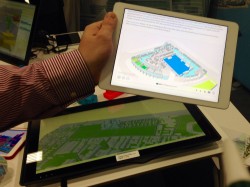
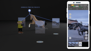
SmarterBetterCities creates 3D scenarios using its 3D Cities Libraries, functional in Esri CityEngine and ArcGIS Desktop.
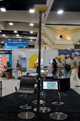
Conference exhibitors at the Esri UC take a seat.
The 2014 Esri UC is being held July 14-18 in San Diego.
Motorola is focusing on its PremireOne public safety applications suite with realtime data.
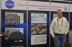
A member of NASA Langley’s GIS Team mans the booth on the show floor.
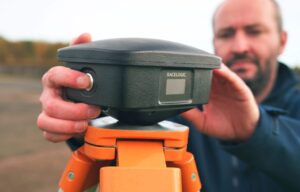
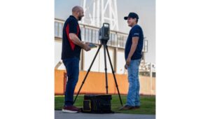
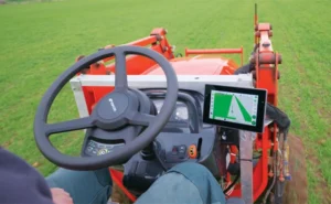
Topcon’s Sirius Pro is designed for high accuracy mapping using GNSS RTK.
GPS World will be producing a live webinar in this booth outside of room 27 at 1 p.m. EDT on Thursday.
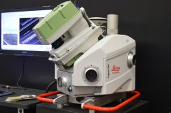
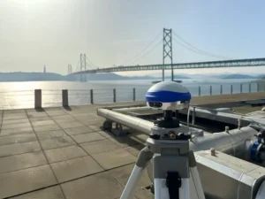
Leica’s Pegasus:Two is a mobile mapping solution integrates hardware platforms including cameras and lidar profilers.
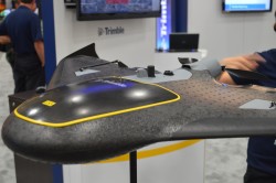
The Trimble UX5 focuses on image quality and photogrammetric accuracy.
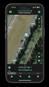
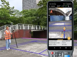
Topcon Positioning Group announces the integration of the Android platform to the eGIS field software system.
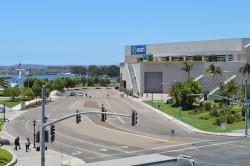
A view of the Esri UC from the outside looking in.
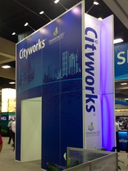
Cityworks’ booth at the Esri UC.
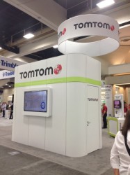
TomTom is at the Esri UC for the 22nd year.
Cedar Tree Technologies is a recently launched rugged handheld company founded by Juniper Systems.
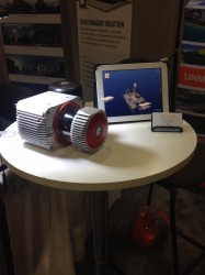
Riegl’s VUX-1 laser scanner.
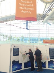
Exhibitors checking out the National Geospatial-Intelligence Agency’s Latin American physical and political geography map.
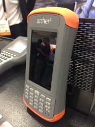
Juniper Systems is featuring its Archer 2 at the Esri UC.