No audio available for this content.
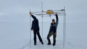
A team of four climbers has returned from the highest point in North America, Mount McKinley in Alaska, with new GPS survey data to determine a more precise height of the mountain’s summit. The data collected will update the commonly accepted elevation of McKinley’s peak, 20,320 feet. The last survey was completed in 1953.
The USGS, along with NOAA’s National Geodetic Survey (NGS), and the University of Alaska Fairbanks (UAF), are the primary partners supporting the survey. The survey party included three mountaineers from CompassData, a subcontractor for Dewberry and a scientist from UAF’s Geophysical Institute.
Using modern GPS survey equipment and techniques, the partners will be able to report the summit elevation with a much higher level of accuracy and confidence than has been possible in the past. It is anticipated the newly surveyed elevation will be announced in late August.


Jonathan de Ferranti
The USGS should not have accepted the height of 6168 metres on the basis of 5m Intermap IFSAR data. I have seen these data for other parts of the world and despite their nominal 5m resolution, errors of more than 20 metres in areas of very high relief terrain are very common. I am also aware of a hand held GPS measurement that upholds the older 6194 metres. An error of more than 20 metres in this measurement is unlikely.