No audio available for this content.
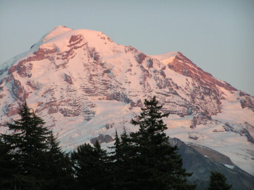
Climate change is altering summits of the tallest ice-capped mountains in the contiguous United States.
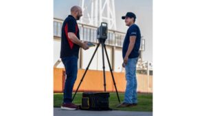
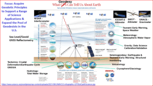
A new study by Scott Hotaling from the Quinney College of Agriculture and Natural Resources and Eric Gilbertson from Seattle University used differential GNSS measurements, satellite data, laser measurements and historical photographs to document the ways ice-capped summits in the Western United States are being affected by climate change.
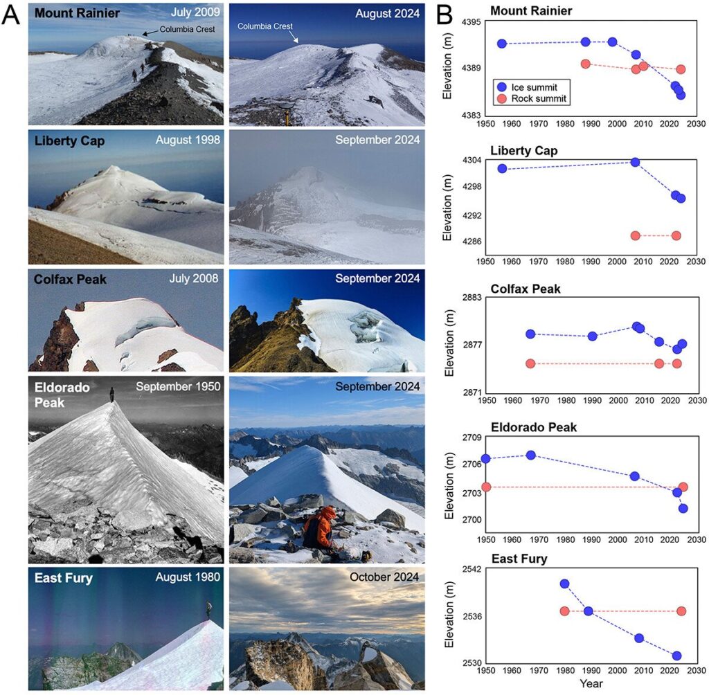
For the last century, there have been five ice-capped summits in the contiguous United States, all in Washington State. The researchers measured the current elevations of the summits and compared their findings to historical surveys and photographs to assess whether their elevations have changed and whether their ice caps are still intact.
For Mount Rainier, Columbia Crest is no longer its highest point. The new summit is now rock on the mountain’s southwest rim roughly 133 meters away. All five of the historically ice-capped summits have shrunk since 1980, with four of the five shrinking by at least 6 meters (20 feet) from loss of snow and ice.
As of 2024, only two of the five summits still had perennial ice as their highest point. Free-air temperatures for the ice-capped summits indicate significant late summer warming of 2.75°C since 1950 and increases in summer melt days, with most of the change occurring since the late 1990s.
“Given the synchronous trends, we offer climate-induced loss of summit ice as the most likely explanation for the observed changes to ice-capped summits in the western United States,” the researchers write in their study.
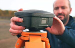
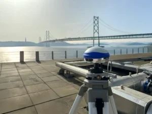
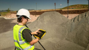
The main GNSS survey tool used was a Spectra ProMark 220 dGNSS equipped with an Ashtech antenna. GNSS measurements of the ice-capped summits hads an accuracy of ±0.03 meters. For each dGNSS survey, the researchers recorded a 1-hour measurement on the ice-capped summit. If a nearby rock summit was at a similar elevation to the ice-capped summit, a 1-hour measurement was also recorded for it.