No audio available for this content.
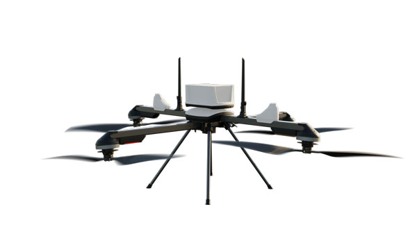
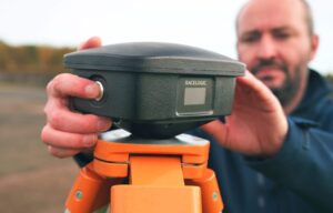
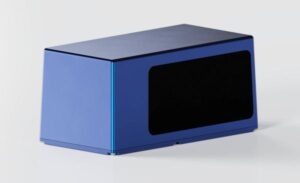
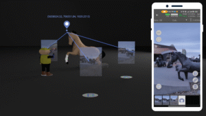
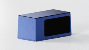
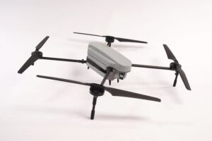
Inertial Labs has integrated its RESEPI lidar solution into ideaForge UAVs. The integration seeks to improve lidar mapping capabilities and is suitable for mining, forestry, geographic information system (GIS) and land surveys, water resources management and more.
The UAVs equipped with RESEPI offer a vertical accuracy of 2 to 3 cm. The precision is maintained at 2 to 4 cm and it excels at a flight height of 50-100 m. The integration enhances the capabilities of ideaForge UAVs, offering users accurate and reliable data for mapping and surveying applications.