No audio available for this content.
ProStar Holdings is partnering with Tersus GNSS, a global manufacturer of patented GNSS technologies. ProStar is the developer of PointMan Precision Mapping Solutions and the LinQD enterprise integration platform.
The collaboration will deliver a complete precision mapping solution to the utility and critical infrastructure industries worldwide, the companies announced.
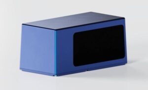
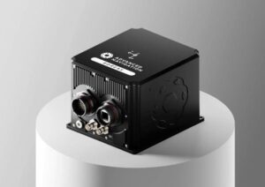
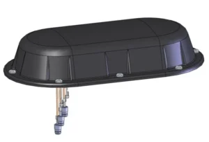
The partnership is designed to integrate Tersus’s survey-grade GNSS receivers with ProStar’s PointMan, providing an affordable, field-ready solution available through Tersus’s international distribution network. Tersus GNSS has operations in China, the United States, and Australia, and is recognized for its innovation in GNSS receiver and base station technology for high-precision positioning applications.
The collaboration represents the latest step in ProStar’s strategy to expand its partnerships through the LinQD open API integration platform, delivering its technologies in one connected precision mapping solution.
ProStar’s LinQD platform is designed to enable seamless interoperability between emerging technologies and legacy systems, creating a robust global ecosystem for geospatial intelligence. By uniting equipment manufacturers and service providers under this initiative, ProStar continues to strengthen PointMan’s position as a premier mapping solution for the critical infrastructure industry worldwide.