No audio available for this content.

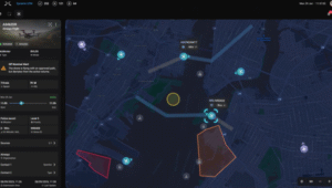
Esri is offering a Severe Weather Public Information Map that charts instances of severe weather throughout the United States and Canada. Weather events tracked include snowstorms, tornadoes, floods, hail storms, wind storms, and short-term weather warnings issued by the National Oceanic and Atmospheric Administration (NOAA).
The map features live feed layers. Users can click on reports and warnings to receive information about the specific location and read a short description about the issue. Radar is provided by AccuWeather and Environment Canada as part of the Esri Disaster Response Program.


rik warren
I would like to access this information and post the results to our mobile application. If there is an intersection between the location of the user and the weather path/ event a notice is is delivered to the user.
rik warren
I would like to access this information and post the results to our mobile application. If there is an intersection between the location of the user and the weather path/ event a notice is is delivered to the user.